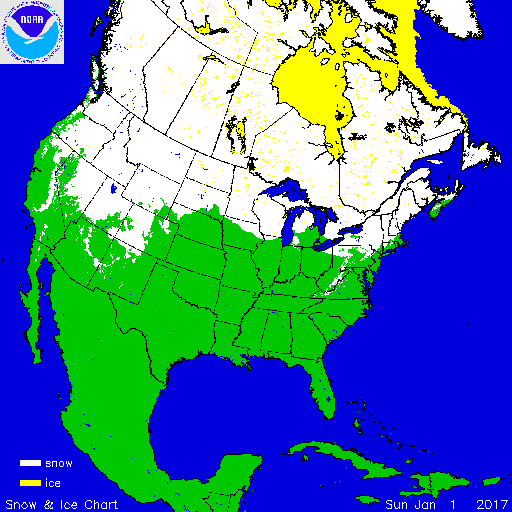
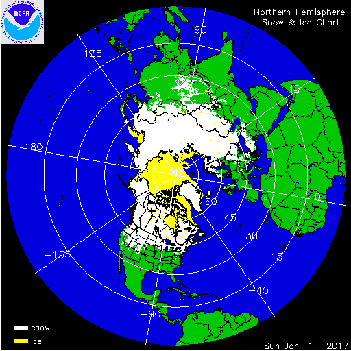
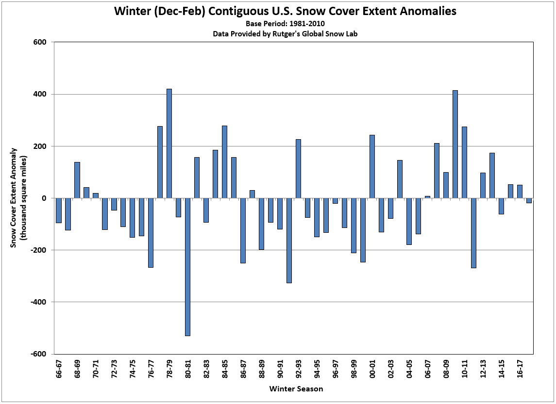
According to NOAA data analyzed by the Rutgers Global Snow Lab, for the winter season (December 2017-February 2018), the contiguous U.S. snow cover extent was 18,400 square miles below the 1981-2010 average and ranked near the middle of the 52-year period of record. The 2017/18 winter snow cover extent was smaller than the snow cover extent of the previous two winter seasons. Much of the snow that fell across the U.S. during the December-February period occurred across the central U.S., the northern Rockies and High Plains. By the end of December, snow blanketed much of the northern Tier of the contiguous U.S. Warm temperatures across the West in January limited snow cover to the high elevations while cold air outbreaks impacted the East and contributed to elevated snow totals. The combination of below-average temperatures and above-average precipitation resulted in above-average snow across the central and northern Rockies during February. An active storm pattern in February brought a peak in snow cover to 48 percent before ending the winter season with 35% of the U.S. blanketed in snow.
Winter and spring mountain snowpack provide a crucial water source across much of the western United States. The total annual water budget for agriculture and human use in the mountainous West is highly dependent on the amount of snow melt that will occur in spring and is proportional to the amount of snow on the ground. The annual snow pack typically peaks in early April. On April 1st, the typical snowpack peak in many western U.S. locations, below-average snowpack, in some instances less than 25 percent of normal, was observed in the southern Cascades, Great Basin and Southern Rockies. Above-average snowpack was observed in the northern Cascades and Northern Rockies with totals more than 180 percent of normal in parts of Idaho, Montana, Washington and Wyoming. Near- to below-average snowpack was observed in the Sierra Nevada Mountains and Central Rockies. In the Sierra Nevada Mountains, heavy precipitation during March helped to boost the peak snowpack after very low snowpack during earlier periods of the cold season. In Alaska, below-average snowpack was observed across southern parts of the state with much-above-average snowpack for interior locations.
For additional information on specific events please visit our monthly reports, storm events database, and billion-dollar weather disasters report.
 NOAA's National Centers for Environmental Information


