
At the beginning of October, snow cover in the U.S. was confined to the high terrain of the Rockies and Cascades, with 3.5 percent of the nation having snow on the ground according to the National Operational Hydrologic Remote Sensing Center. Two large snow storms on October 9th through 13th and October 27th through 30th affected the upper Midwest, Rocky Mountains, and portions of the western Plains. By the end of the month, 13.6 percent of the nation was under snow cover.
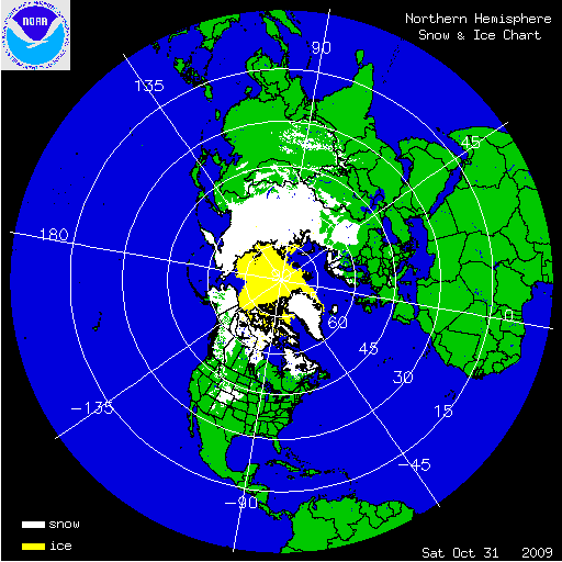
The two satellite-derived images above show the daily snow cover across North America (left map) and the Northern Hemisphere (right map) throughout October 2009.

A storm affecting the U.S. East Coast on October 15th and 16th caused snow for interior Pennsylvania and New York State. Up to 10 inches (25.4 cm) of snowfall accumulation was reported at some high elevation locations. The combination of cold air in place east of the Great Lakes and a low pressure center moving up the Eastern Seaboard led to the early season winter weather. This storm was notable because it led to the earliest measureable snowfall for several stations in the region.

A large, strong, and slow moving storm brought heavy snowfall to the Rockies and Western Plains from October 27th through 30th. The heaviest snowfall amounts occurred along the Front Range in Colorado, with 46 inches (117 cm) reported northwest of Denver and snowfall rates as high as 2 inches per hour. As the storm moved eastward, blizzard conditions were experienced east of Denver. The storm affected portions of Colorado, Kansas, Nebraska, New Mexico, South Dakota, Utah, and Wyoming with many major highways and interstates having to be closed. By the end of the storm, 21 percent of the country was blanketed by snow.
The unusually cold and wet conditions experienced across the middle of the country led to several locations setting snowfall records. Cheyenne, Wyoming experienced 28 inches (71 cm) of snow for the month, making October 2009 the city’s snowiest October on record. North Platte, Nebraska observed 30.3 inches (77 cm) of snowfall, making October 2009 the snowiest month of all months on record for the city. The previous record was 27.8 inches (71 cm) recorded in March 1912.