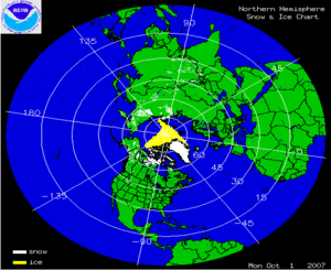
The two satellite-derived animations above show the daily snow cover across the Northern Hemisphere (left map) and North America (right map) throughout April 2007. By clicking on the images, the change in sea-ice extent across parts of the Arctic can be seen through the month as well as several significant snowfall events across the U.S. and Europe. The seasonal retreat of snow cover can be seen in both animations.
More information on significant winter weather and other hazards can be found on NCDC's Hazards page.

The map to the left depicts percent of average snowpack in the West and Alaska as of May 1st. For the 2007 Water Year, snow water-equivalent (SWE) values are near average over portions of the Cascades (WA) and Colorado Front Range. Elsewhere, melt out continued and at an accelerated pace as a high pressure ridge brought unwelcomed heat over much of the West. By the end of the month, SWE decreased and snow depths responded in kind with many areas losing more than two inches per day. Additional information on the western U.S. snowpack can be found at the following USDA/NRCS webpage.

A late season winter storm dumped nearly a foot of snow across areas of Maine on the 5th, snarling traffic and forcing governor Jim Baldacci to declare a state of emergency after at least 275,000 homes and businesses lost power (Reuters). Portland recorded its fifth biggest snowstorm in April for a 24-hour period.