North Atlantic
June marks a continuation of a record-long major hurricane (Category 3 or stronger) landfall drought in the United States. The last major hurricane to make landfall in the U.S. was Wilma on October 24, 2005. This major hurricane drought surpassed the length of the eight-years from 1861-1868 when no major hurricane struck the United States' coast. On average, a major hurricane makes landfall in the U.S. about once every three years. The reliable record of landfalling hurricanes in the U.S. dates back to 1851.
| Storm Type | June 2016 | June 1981-2010 Average | Record Most for June Period of Record: 1851-2016 |
|---|---|---|---|
| Tropical Storm (Winds > 39 mph) |
3 | 0.5 (one every other year) |
3 (1886, 1909, 1936, 1968, 2016) |
| Hurricane (Winds > 74 mph) |
0 | 0.1 (one every 10 years) |
3 (1886) |
| Major Hurricane (Winds > 111 mph) |
0 | 0 | 1 (1945, 1957, 1966) |
| Name | Dates of winds >39 mph |
Maximum Sustained Winds |
Minimum Central Pressure |
Landfall |
|---|---|---|---|---|
| Tropical Bonnie | May 27th – June 5th | 45 mph | 1006 mb | Charleston, South Carolina |
| Tropical Colin | June 5th–7th | 50 mph | 1000 mb | Big Bend, Florida |
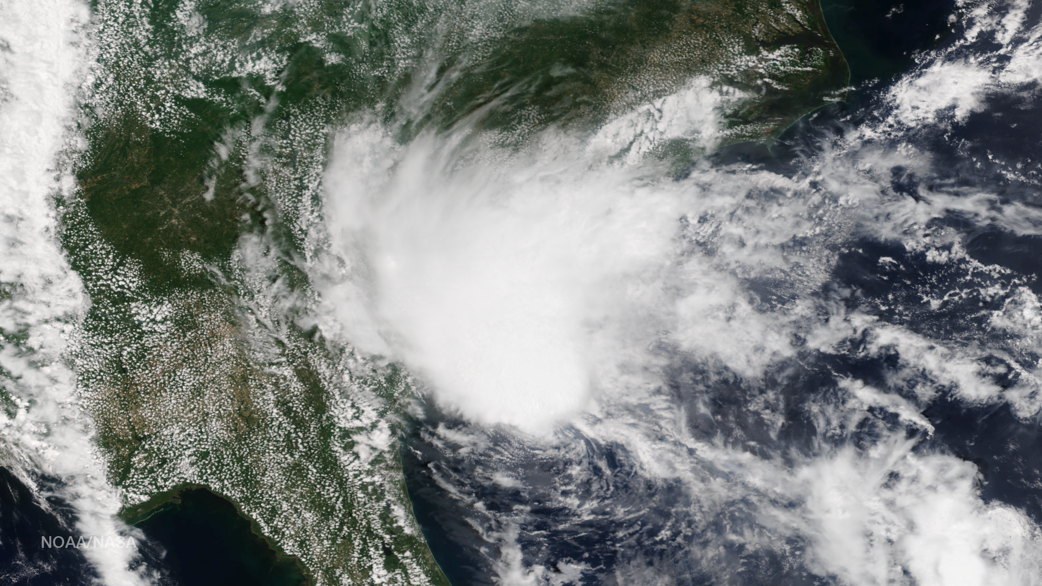
| Tropical Storm Danielle | June 19th–21st | 45 mph | 1007 mb | Tuxpan, Mexico |
Summary of June 2016 Events
Three tropical storms formed during June, tying the record for most during the month. We typically expect one tropical storm to form in the North Atlantic basin every other June.
Tropical Storm Bonnie made landfall near Charleston, South Carolina on May 30th and quickly weakened to a tropical depression. The storm moved offshore and restrengthened to tropical storm force on June 2nd off the coast of North Carolina, with heavy rainfall along North Carolina's Outer Banks. The storm weakened to a remnant low by the 5th. The main impacts from the storm were heavy rainfall and strong rip currents along the Southeast coast that claimed the lives of two people.

Tropical Storm Colin developed from a low pressure system that moved off of Mexico's Yucatan Peninsula on June 5th. Colin marked the earliest occurrence of the third tropical storm on record for the North Atlantic Basin, besting the previous record in 1887 by seven days. Colin made landfall along Florida's Gulf Coast on June 6th with winds of 50 mph and quickly weakened to a tropical depression as it moved across the Southeast bringing heavy rainfall to Florida, Georgia, and parts of the Carolinas. Colin also spawned severe weather and tornados across Florida. At least four fatalities were blamed on Colin due to rip currents pulling people out to sea.
Tropical Storm Danielle formed in Bay of Campeche on June 19th. Danielle was the earliest occurrence of the fourth tropical storm on record for the North Atlantic Basin, besting the previous record of Tropical Storm Debby in 2012 by three days. Danielle peaked in strength at 45 mph and made landfall near Tuxpan, Mexico. Danielle caused flooding across parts of Mexico with over a thousand families forced to evacuate their homes. Flooding associated with Danielle was responsible for at least one fatality in Mexico.
East Pacific
| Storm Type | June 2016 | June 1981-2010 Average | Record Most for June Period of Record: 1949-2016 |
|---|---|---|---|
| Tropical Storm (Winds >39 mph) |
0 | 1.9 | 5 (1985) |
| Hurricane (Winds >74 mph) |
0 | 0.8 (four every five years) |
3 (1984) |
| Major Hurricane (Winds >111 mph) |
0 | 0.3 (about one every three years) |
2 (1978, 2010) |