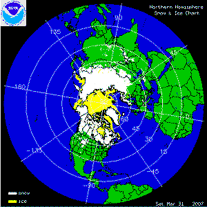
The two satellite-derived animations above show the daily snow cover across the Northern Hemisphere (left map) and North America (right map) throughout March 2007. By clicking on the images, the change in sea-ice extent across parts of the Arctic can be seen through the month as well as several significant snowfall events across the U.S., China and India.
More information on significant winter weather and other hazards can be found on NCDC's Hazards page.
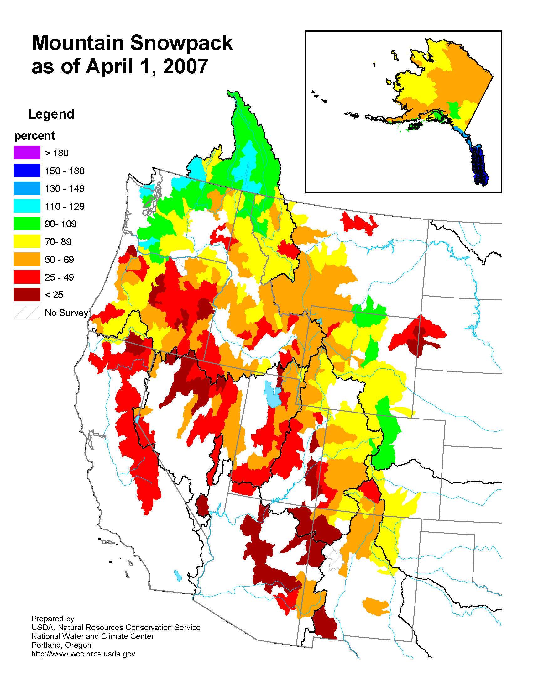
The map to the left depicts percent of average snowpack in the West and Alaska as of April 1st. The Northern Cascades, Big Horn Mountains in Wyoming, and Colorado Front Range are the only regions showing near or above normal snowwater-equivalent (SWE). Conditions are dire over the Sierra Nevada (CA-NV), Wasatch (UT), and the mountains of Arizona. SWE improved over the Northern Rockies due to the snow storm at the end of March. Conditions continue to deteriorate over northern California and now over southern Oregon. Snowfall accumulated over the Northern Rockies (WY and MT) but decreased elsewhere. Additional information on the western U.S. snowpack can be found at the following USDA/NRCS webpage.
A St. Patrick's Day winter storm caused travel problems across parts of the Northeast on the 16th and 17th. More than 1000 flights were cancelled in New York City as more than 5 inches of snow was reported in Central Park. Eight inches fell in Frostburg, Maryland and up to 2 feet of snow were reported in the northern Catskills of New York. Farther to the south, freezing rain and ice accumulated from northern Virginia throughout much of Pennsylvania and into parts of southern New York making driving conditions hazardous.
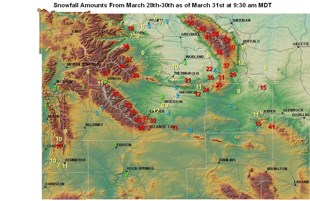
A strong Pacific storm system brought mountain snow to much of Idaho, Nevada and Utah on the 27th. The storm continued to move to the northeast and was enhanced by the influx of Gulf of Mexico moisture. The result was a major snow event across portions of Utah and Wyoming from the 28th through the 30th. Hobbs Park, WY reported 70 inches of snow during this time. Brian Head, UT and Alta, UT also reported significant accumulations of 39 and 19 inches, respectively.
More information on March winter weather can also be found on NCDC's Hazards page, while information on the southwestern drought can be found on NCDC's monthly drought pages.